The Great Lakes are part of the largest surface freshwater reserve on Earth, containing 21% of total global surface freshwater. The overall health of this critical freshwater ecosystem is tied to the health of its coastal wetlands. They provide countless ecosystem services such as water filtration, protection against shoreline erosion, flood control, outdoor recreation, and drinking water for approximately 50 million people. They also provide habitat and breeding grounds for many bird, mammal, fish, herptile, and invertebrate species.
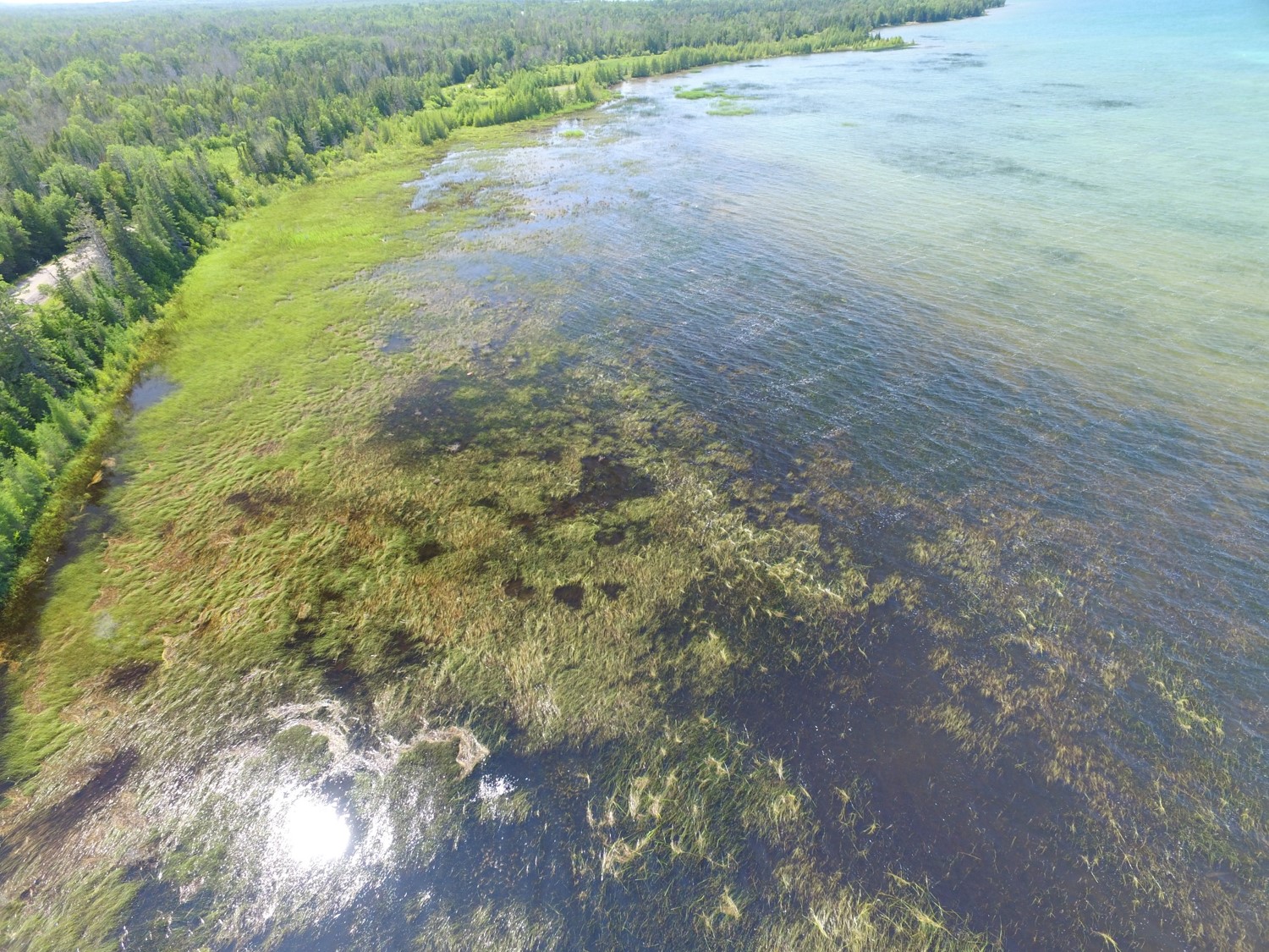
Due to their dynamic nature, wetlands are highly vulnerable to both climatic and anthropogenic changes such as drainage, dredging, filling, shoreline modification, water-level change, nutrient enrichment, introduction of invasive species, and land development. Since the mid-19th century, anthropogenic activity and water level changes throughout the Great Lakes have resulted in a loss of over 50% of historical coastal wetlands. In the presence of these threats, it is important to regularly monitor the often fast-changing state of coastal wetlands in order to make appropriate management decisions.
This significance of Great Lakes coastal wetlands has been recognized and plans have been implemented at local,
regional, and federal levels to protect the Great Lakes and their wetlands. The governments of the USA and Canada
have both initiated large-scale efforts to protect the lakes and adjacent ecosystems with the Great Lakes Restoration
Initiative (GLRI) and the Great Lakes Protection Initiative, respectively. Since 2016, the United States Fish and
Wildlife Service (USFWS), the Environmental Protection Agency (EPA), and Great Lakes Restoration Initiative (GLRI)
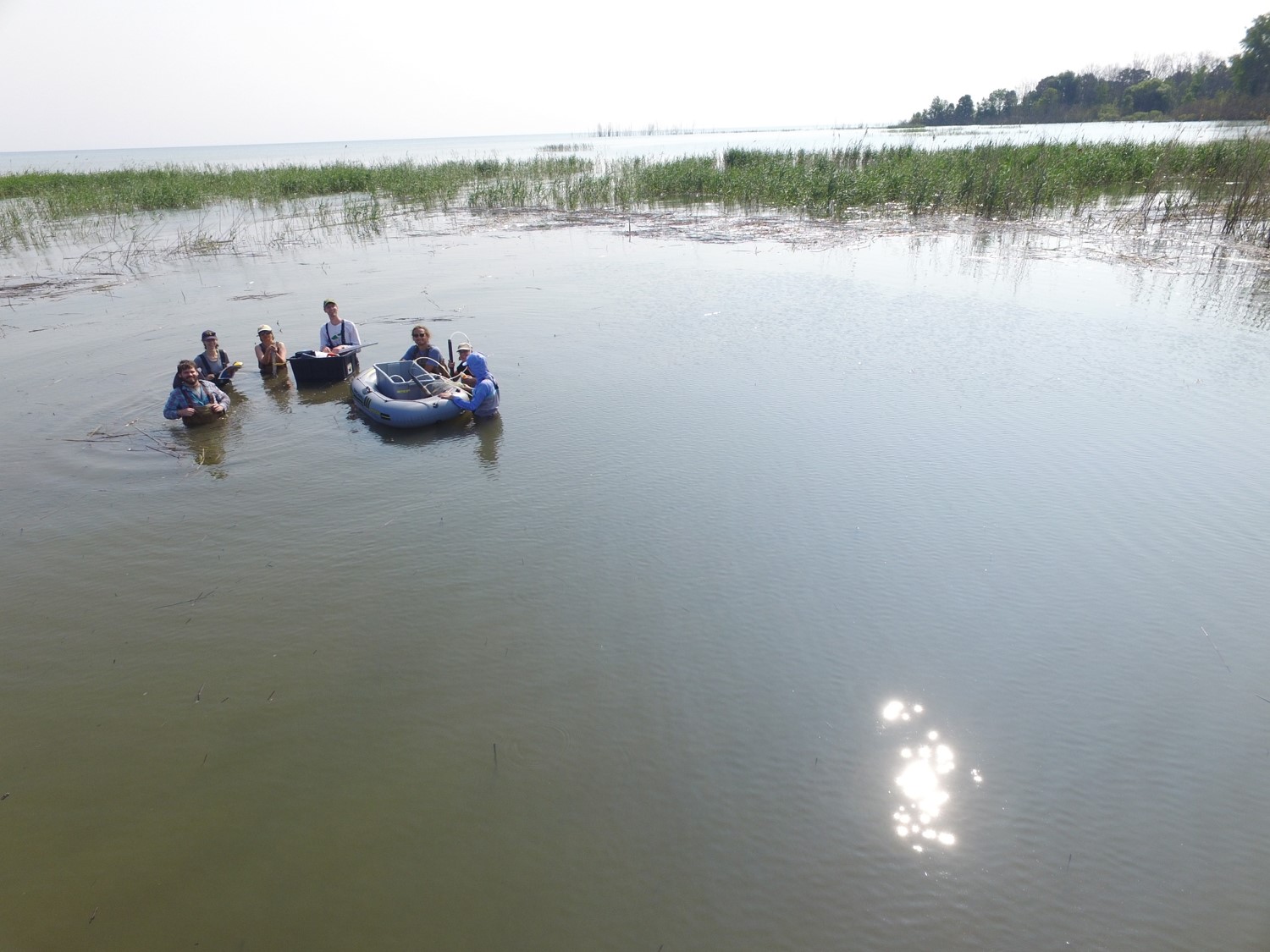
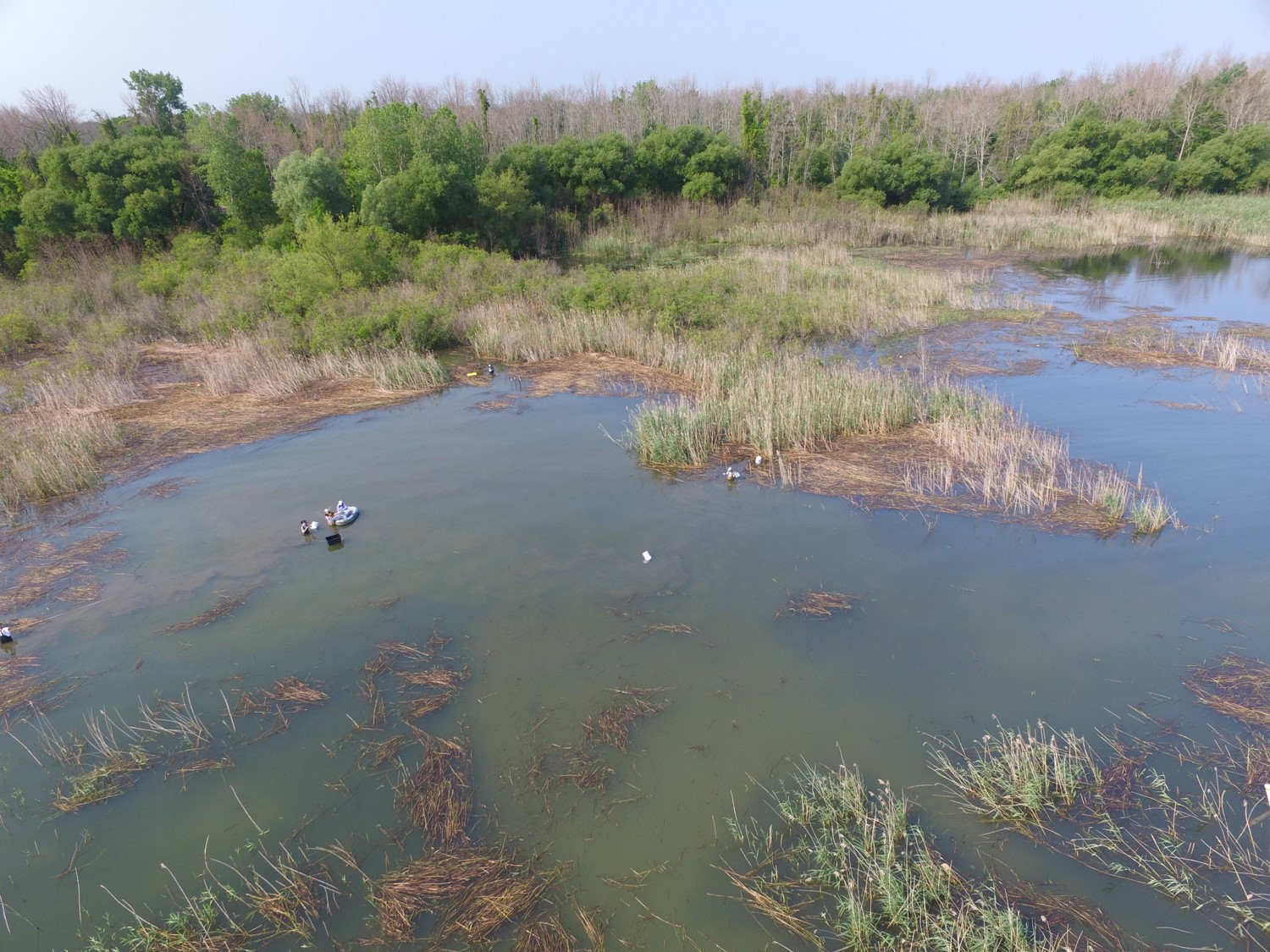
have funded the Great Lakes Alliance for Remote Sensing (GLARS), a bi-national collaboration between SharedGeo,
Michigan Tech Research Institute, University of Minnesota, (Natural Resources Canada) Canadian Centre for Remote Sensing, and Environment and
Climate Change Canada to develop a framework to better measure change in coastal wetlands throughout the Great Lakes.
GLARS partners work to harness the power of high resolution remote sensing to create innovative open-access vegetation,
hydrology, and elevation data products based on the reported needs of wetland managers. GLARS also seeks to push the
boundaries of remote sensing and computing to continue to more effectively study and protect the Great Lakes coastal
wetlands.